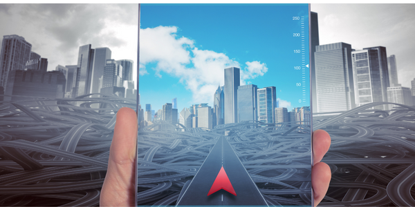
The application developed receive signals from the GPS satellites and gathers information about location, identify the relative car position and direction by combining the information received from the sensors. It also shows the current traffic situation in a particular area. It takes into account the time needed to reach the destination point considering databases like road networks, traffic jams, police posts, road closures, and other information that is published by the other drivers or other sources. The application collects this information and marks it on the map so that you do not have to scan it every time you go through this area.
Read More


